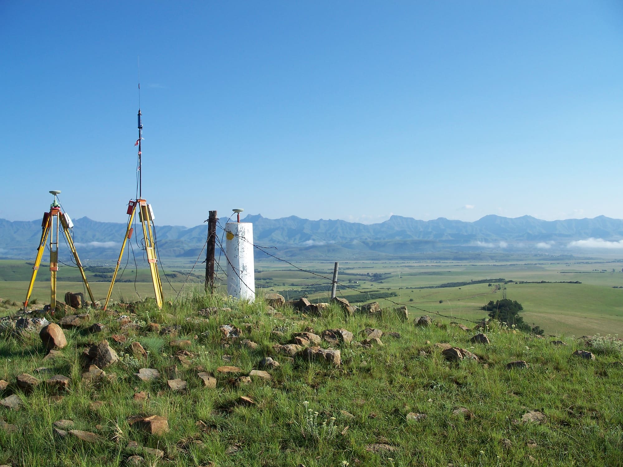
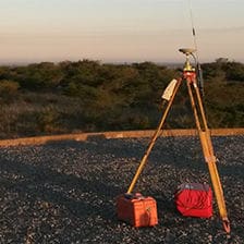
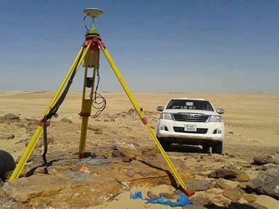
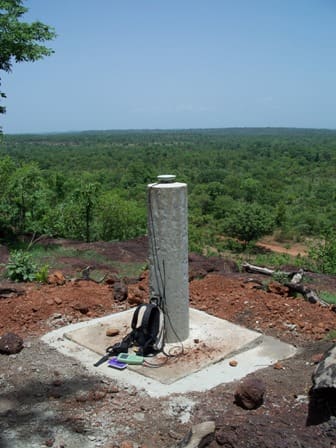

A survey beacon and GNSS equipment on a grassy hillside with mountains behind

Land surveyors in KwaZulu-Natal

Cadastral, topographic, sectional title and engineering surveys for homeowners, developers, engineers and municipalities across KZN. Based in Kloof, Durban, since 1996.

Our services

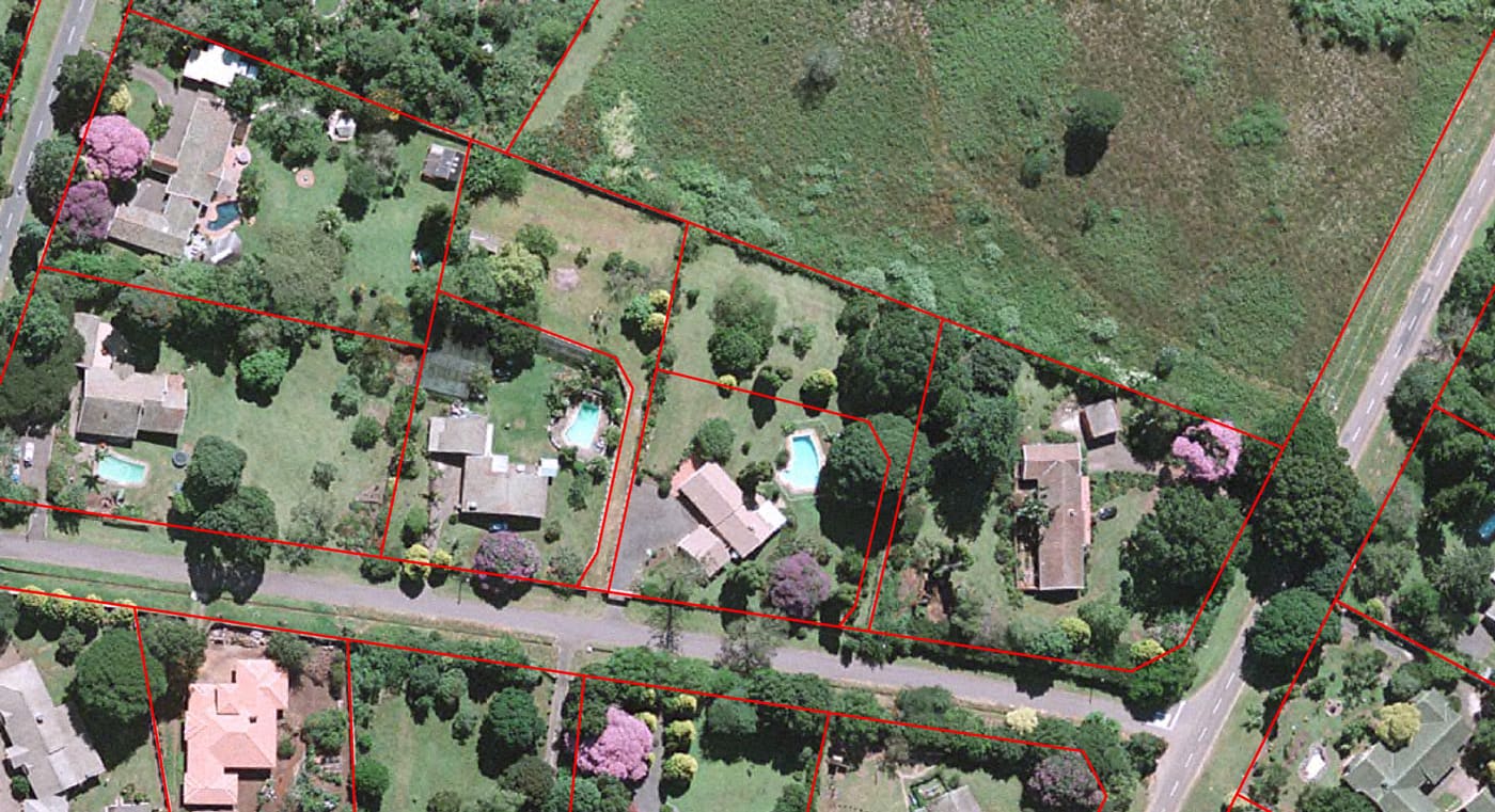
Aerial photo of a residential property subdivision

Property subdivisions

Subdividing a property can be worthwhile in many ways: selling off a portion of land can reduce your bond repayments and property rates, and living on a smaller, more secure property with neighbours close by improves security.

We provide every service you need, from the feasibility study and initial application through to the final survey and registration documents.
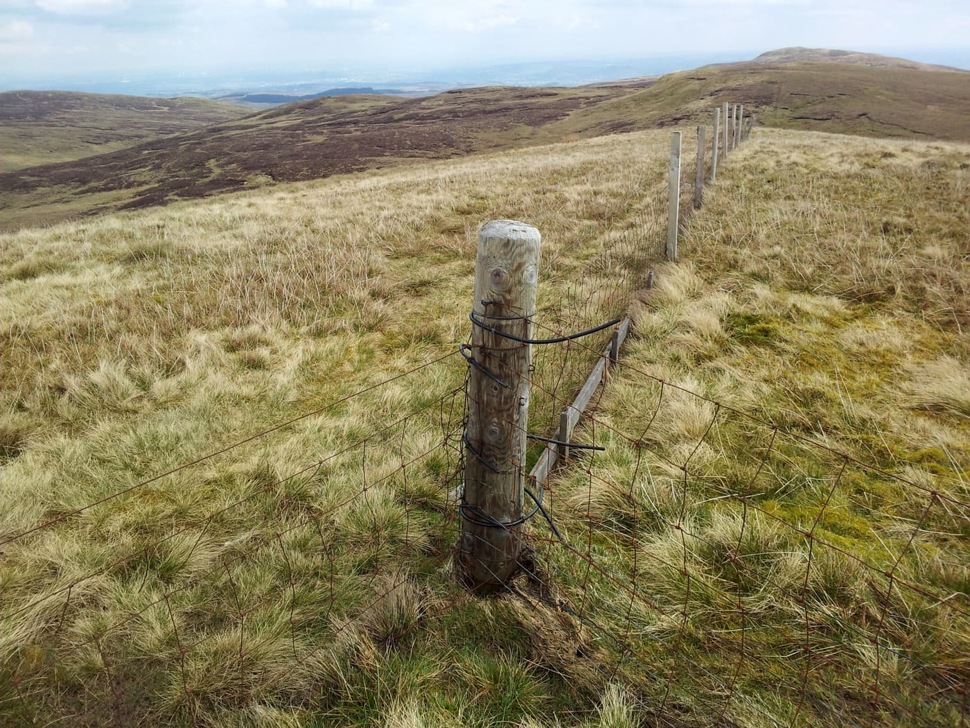
A boundary fence line and corner post on farmland

Boundary peg re-establishment

Boundary peg (beacon) re-establishment reconstructs the positions of a property's beacons and boundary lines. The work is carried out by our registered surveyors and comes with beacon certificates.

Encroachment and boundary dispute surveys show the extent of the problem and the possible remedies, so that the boundary line can be settled.

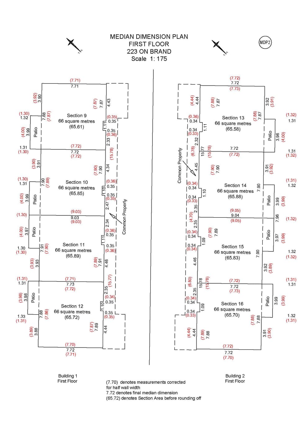
A sectional plan drawing showing the sections of a building

Sectional title surveys

When you buy a sectional title property, such as a flat or a unit in a complex, you buy your own section plus a share of the common property: the pool, clubhouse, gardens and so on. Your levy pays for your share of those communal areas.

We draw up sectional plans (and later amendments and extensions) and the accompanying documents for lodgement with, and approval by, the Surveyor-General.

Surveyor with a total station on a road construction site

Road and rail construction surveys

Surveying plays an important part in road and rail construction, before, during and after the build. A topographic survey is usually done first to fix the alignment and calculate the volumes of earth to be added, removed or moved; for larger areas a photogrammetric survey produces the base map.

For rail work we also establish possible routes, gradients and curvature, cuts and fills, and the positions of bridges and tunnels. When construction is complete, an as-built survey records any changes from the original design.

Monitoring survey equipment set up at a construction site

Building and structure monitoring

Using specialised instruments, we run high-accuracy, long-term monitoring surveys of buildings and structures such as dam walls to detect any movement before, during and after construction.

Monitoring points are measured, re-measured after a set interval and compared, so that engineers and builders get early warning of deformation and can decide what action to take.

Surveyor taking levels for a topographic survey

Topographic surveys

A topographic (tacheometric) survey records the lie of the land: levels, contours, boundaries, buildings, trees, banks, roads and municipal services.

Architects and engineers use it as the base map for designing homes, commercial buildings, roads and driveways.

Areas we serve

From our office in Kloof we survey properties and projects throughout KwaZulu-Natal, from the Upper Highway and greater Durban to the coast, the Midlands and the Drakensberg. Not sure if we cover your area? Just ask.

  • Kloof
  • Hillcrest
  • Gillitts
  • Waterfall
  • Botha's Hill
  • Pinetown
  • Westville
  • Durban
  • Umhlanga
  • Ballito
  • Amanzimtoti
  • Pietermaritzburg
  • KZN Midlands
  • Drakensberg

Selected projects

Road survey in the Bergville area, Drakensberg

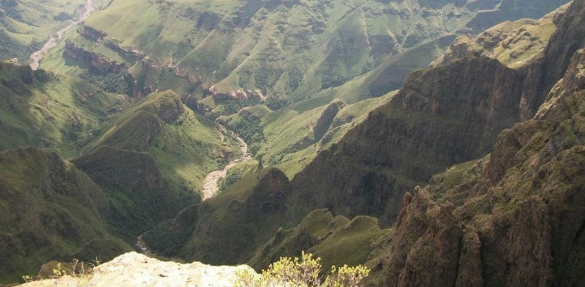
Survey of rural roads in Bergville

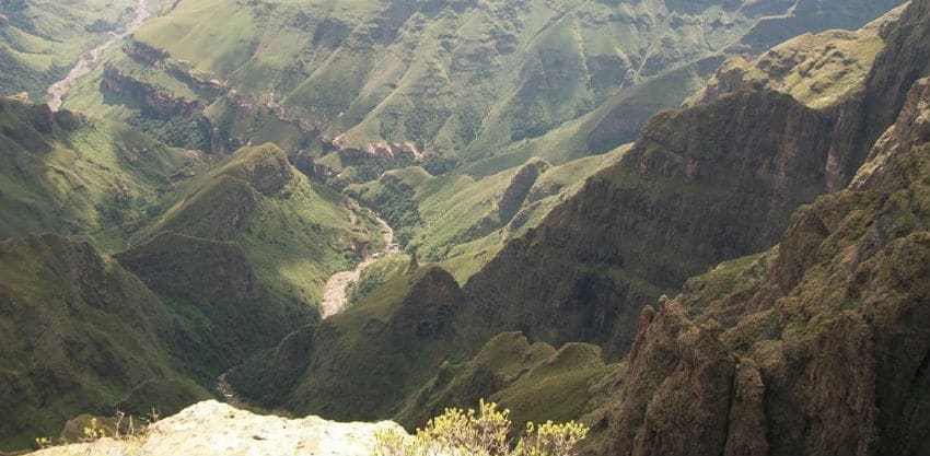
Mapping of 25 rural roads in the Bergville area of the Drakensberg for upgrading. The roads totalled more than 55 km, in sections of about 5 km each.

The client needed the project done in four weeks. Despite the Drakensberg's afternoon storms, we completed it in 15 days.

Cadastral survey work in the rural Eastern Cape

Cadastral survey of administration areas, rural Eastern Cape

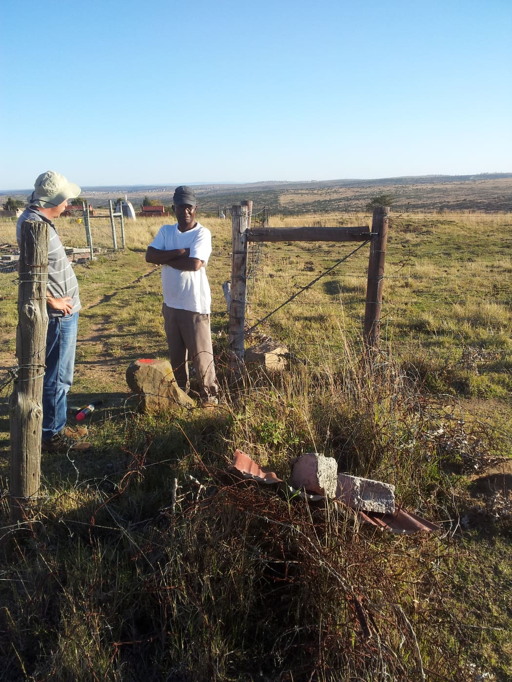
The Department of Rural Development and Land Reform needed various administration areas formally surveyed, along with government facilities such as schools and clinics.

Some of the proclamations describing these traditional areas are close to 100 years old, so determining the exact boundaries took extensive consultation with traditional leaders.

Aerial survey in the Rwenzori Mountains, Uganda

Aerial survey in the Rwenzori Mountains, Uganda

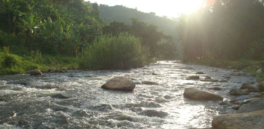
An aerial survey of a river valley in a remote part of western Uganda, on the eastern slopes of the Rwenzori Mountains near the Congolese border, to assess the feasibility and the environmental and social impact of a hydropower plant.

Survey control work for the Gambia River weir site, Mali

Topographic survey of a Gambia River weir site, Mali

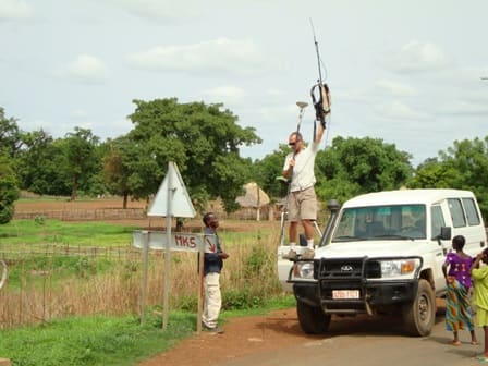
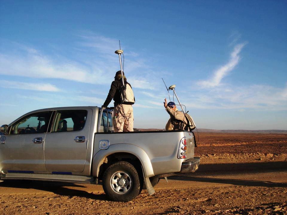
A large survey in rural Mali for a proposed weir on the Gambia River, which forms the border with Senegal. Survey control had to be brought in from more than 150 km away to tie in with the local geodetic system.

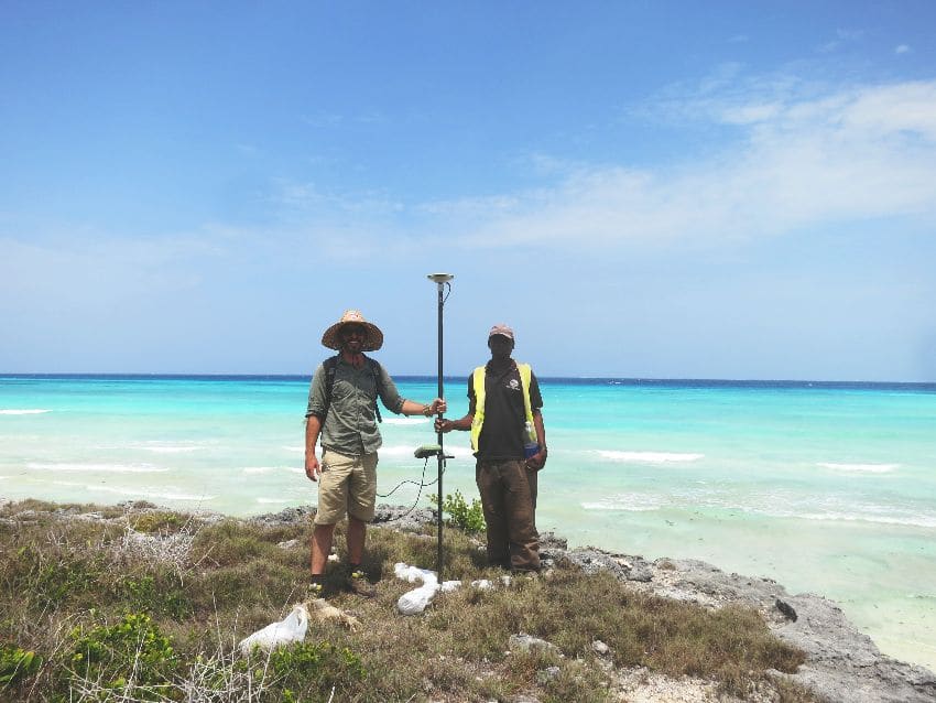
Topographic survey on the coast of northern Zanzibar

Topographic and bathymetric survey, Zanzibar

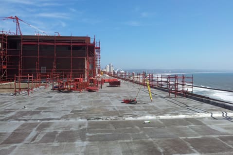
A topographic and bathymetric survey of 2,000 ha in northern Zanzibar for a proposed resort, providing contours, levels and all topographic detail.

A fixed-wing mapping drone captured the land, while a side-scan sonar mapped the sea floor.

Some of our clients

  • eThekwini Municipality
  • Department of Rural Development and Land Reform
  • AECOM
  • Illovo Sugar
  • ArcelorMittal
  • ERM
  • Randgold Resources
  • MDV Developments

Frequently asked questions

Do I need a land surveyor to subdivide my property?

Yes. A subdivision has to be surveyed by a registered professional land surveyor, and the survey diagrams must be approved by the Surveyor-General before the new erf can be registered at the Deeds Office. The municipality must also approve the subdivision. We handle the whole process, from the feasibility study and application to the final survey and registration documents.
My boundary pegs are missing. How do I find my boundary?

We re-establish (relocate) the beacons from the approved survey records and issue a beacon certificate. This is the reliable way to settle where a boundary is before you build a wall or fence, or when a neighbour's structure may be encroaching.

What is a sectional plan and who draws it up?

A sectional plan shows the sections and common property of a sectional title scheme, such as a block of flats or a complex. It is drawn up by a land surveyor and approved by the Surveyor-General. Extensions or changes to sections later need an amended plan, which we also prepare.

When do I need a topographic survey?

Usually before any design work starts, for example a new house, an extension, a driveway, a road or a development. Your architect or engineer uses it as the base map, showing levels, contours, buildings, trees and services.

Which areas do you cover?

We are based in Kloof and work throughout KwaZulu-Natal, including greater Durban, the Upper Highway, the North and South Coasts, Pietermaritzburg, the Midlands and the Drakensberg.

How do I get a quote?

Send us the property address or erf number and a short description of what you need using the form below, or phone us on 031 764 5229. We'll come back to you with a quote.

Land surveyors in Kloof, Durban

80 Klooflands Road, Kloof, 3610 KwaZulu-Natal, South Africa info@mwls.co.za +27 (0)31 764 5229 | +27 (0)83 627 7091

Tell us the property address or erf number and what you need, and we'll get back to you with a quote.